
Best Walkable US Cities for Car-Free Young Professionals in 2027
 Curated byKory White · Fractional CRO · Maryland
 PULSEKNOWLEDGE LIBRARY
Quality
Certified

New York City remains the strongest car-free choice for young professionals, with its 24/7 subway service and nation-leading walkability. Philadelphia offers the best value, pairing dense transit with rents far below Manhattan. Chicago, Washington D.C., Boston, Jersey City, Minneapolis, Portland, Seattle, and San Francisco round out the realistic list. These cities have substantial populations of car-free households and transit systems that make daily life possible without a vehicle, provided you choose the right neighborhood.
What going car-free actually buys you in the first year
The honest outcome of a car-free move is not "free money." It is a swap: you trade a fixed, depreciating monthly obligation for a higher housing cost in a denser neighborhood, plus a small variable budget for the trips walking and transit cannot cover. Whether that swap comes out ahead depends almost entirely on how much car you were carrying before.
AAA's annual *Your Driving Costs* study has put the all-in cost of owning and operating a new vehicle north of $12,000 a year in recent editions — depreciation, financing, fuel, insurance, maintenance, tires, registration. That is a national average across a five-year ownership window on a new car, so it overstates the case for someone driving a paid-off ten-year-old sedan and understates it for someone financing an SUV in a metro with high insurance premiums. Realistically, a young professional in a big US metro is carrying somewhere between $450 and $1,000 a month once parking is included, and urban parking is the line item people forget: a dedicated garage space in Manhattan, Boston's Back Bay, or San Francisco's Nob Hill routinely runs several hundred dollars a month on its own, before you have driven anywhere.
Against that, the car-free replacement stack is small and predictable. A monthly transit pass in most of these cities lands roughly in the $75–$130 range. A bikeshare annual membership — Citi Bike in New York, Divvy in Chicago, Capital Bikeshare in D.C., Indego in Philadelphia, Nice Ride in Minneapolis — is typically a low-triple-digit annual charge, not a monthly one. Then you budget for the gaps: rideshare on late nights and bad weather, a Zipcar or traditional rental for weekend trips and IKEA runs, grocery delivery when you do not want to carry forty pounds up three flights. Plan on $150–$250 a month for that whole gap layer if you use it moderately.
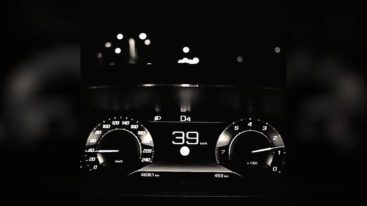
So the first-year outcome for most people looks like this: transportation spend drops meaningfully, housing spend rises, and the net is somewhere between a small loss and a substantial gain depending on the city you pick. In Philadelphia, Chicago, Minneapolis, or Portland the arithmetic usually comes out clearly positive — you gain walkability without paying coastal rent for it. In Manhattan or San Francisco the arithmetic is closer to neutral, and the real return is time, optionality, and the elimination of parking as a daily problem rather than dollars.
The second-order outcome is the one people underrate. Car-free living compresses your radius, which means the quality of your immediate six or eight blocks becomes the quality of your life. That is why neighborhood selection matters more than city selection, and why the same city can be a great car-free experience in one ZIP code and a miserable one twenty minutes away.

The four forces that decide whether car-free sticks
Frequency beats coverage. A transit map that reaches everywhere but runs every 25 minutes will lose to a smaller network running every 6–8 minutes. Frequency is what makes transit feel like a utility instead of an appointment — you leave when you want and the train is there. This is the single biggest differentiator between New York's subway, Chicago's L, and D.C.'s Metro on one side, and light-rail systems in newer transit cities on the other. When you evaluate a city, ignore the pretty map and check headways on the specific lines you would actually ride, at the specific hours you would actually ride them.
Span of service is the second force. Frequency during rush hour is table stakes; what breaks car-free living is the 11:40pm ride home. New York's 24-hour subway is genuinely unique in the United States. Chicago runs the Red and Blue lines around the clock. Most other systems — including D.C.'s Metro, Boston's T, and the light-rail networks in Seattle, Portland, and Minneapolis — shut down or thin out dramatically overnight, which pushes late nights onto night buses or rideshare. If you work restaurant hours, hospital shifts, or a job with unpredictable evenings, span of service should outrank almost everything else on your list.
Destination density is the third. Walk Score is a proxy for this: it measures how many everyday destinations sit within walking distance. What matters practically is whether a full-service grocery, a pharmacy, a laundromat or in-unit laundry, and a gym are inside a 10–15 minute walk. If the grocery is a 25-minute walk each way, you will start renting cars for grocery runs and the whole model degrades.

Terrain and climate are the fourth, and they are the ones people dismiss and then regret. San Francisco and Seattle are hilly enough to change which routes you will actually walk. Boston, Chicago, and Minneapolis have winters that turn a pleasant 15-minute walk into a genuine chore for four months a year — Minneapolis built its downtown skyway network precisely because of this. Portland and Seattle trade cold for persistent rain, which is far easier to dress for.
Benchmarks and realistic ranges across the ten cities
Walk Score publishes citywide scores that give you a defensible starting benchmark, and the tiers are stable year over year. New York and San Francisco sit in the high 80s — the only two US cities in that band. Jersey City scores unusually high for its size, in the mid-to-high 80s, because its downtown is dense and its PATH connection to Manhattan is fast. Boston lands in the low 80s. Chicago, Philadelphia, and Washington D.C. cluster in the mid-to-high 70s. Seattle and Minneapolis sit in the low-to-mid 70s. Portland is closer to the high 60s citywide, which undersells its best neighborhoods badly — the Pearl District, Hawthorne, and Alberta all score far above the city average.
That last point is the practical lesson: city-level scores are a screening tool, not a decision tool. Every one of these metros has neighborhoods that score above 90 and neighborhoods that score below 50. Astoria in Queens, Center City in Philadelphia, Dupont Circle in D.C., Lincoln Park and Wicker Park in Chicago, Capitol Hill in Seattle, the North Loop and Uptown in Minneapolis — these are the addresses that make car-free work, and they carry a rent premium over the car-dependent parts of the same city.

On rent, the tiering is more reliable than any specific number, since figures move quarter to quarter. Manhattan sits alone at the top. San Francisco and Boston form the next tier. Seattle and Washington D.C. sit meaningfully below that. Chicago, Jersey City, and Portland come next. Philadelphia and Minneapolis anchor the affordable end. Pull the current Zillow Observed Rent Index or the RentCafe metro pages before you commit — the ordering holds, the absolute numbers do not.
On car ownership rates, the US Census Bureau's American Community Survey publishes "no vehicle available" by household, and it is the cleanest single indicator of whether car-free is normal or eccentric in a given place. New York is a dramatic outlier — the majority of NYC households own no car, driven overwhelmingly by Manhattan, Brooklyn, and the Bronx. Washington D.C., Boston, Philadelphia, San Francisco, and Jersey City all post no-vehicle rates far above the national average. That number matters beyond statistics: in a city where a third of your neighbors have no car, the grocery stores deliver, the apartments do not force you to buy a parking spot, and nobody thinks it is strange that you took the train.

On bike infrastructure, the League of American Bicyclists' Bicycle Friendly Community ratings are the standard reference. Minneapolis and Portland consistently rank at or near the top of US cities for both infrastructure and bike-commute share; Chicago, Washington D.C., and Seattle have built out substantial protected-lane networks in the last decade. Protected lanes and painted lanes are not the same product — check which one your commute route actually has.
One structural benchmark worth tracking: transit agency farebox recovery. Ridership and fare revenue collapsed across US systems in 2020 and have recovered unevenly since, and agencies facing structural budget gaps have responded with service cuts, which directly degrades the frequency and span you are depending on. Before signing a lease, check whether your target agency — SEPTA, WMATA, MBTA, CTA, Metro Transit, TriMet, Sound Transit — has announced service reductions or a funding cliff. A city's transit quality is a moving target, not a fixed attribute.
Where car-free living breaks down
The most common failure mode is the suburban-adjacent lease. Someone picks the right city and the wrong address — a building that is 0.9 miles from the nearest station, technically walkable on paper, but far enough that in February at 7am they start ordering a rideshare, then two, then they buy a car by June. Walk the actual route from the actual building to the actual station before you sign, in the worst weather you can arrange.
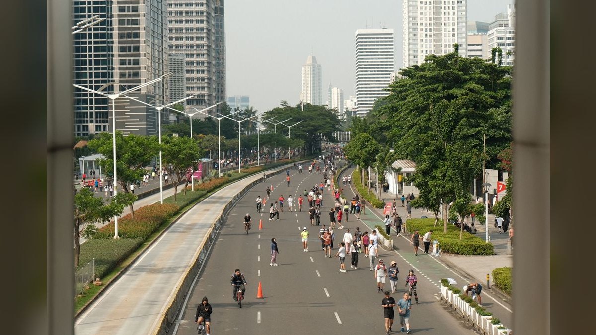
The second failure mode is the job that moves. You optimize your housing for a commute, then get promoted, change employers, or your company relocates to an office park. In a car-dependent metro that is an inconvenience; in a car-free setup it can be structural. Mitigate it by choosing a neighborhood with strong connections in multiple directions — a hub, not a spur — rather than one perfectly aligned to a single line.
Third: the partner or roommate problem. Car-free is far easier as a solo decision. If your household includes someone who drives to work, or a dog that needs a vet across town, or an aging parent you visit monthly two hours away, the household keeps a car and you have paid the walkable-neighborhood rent premium without capturing the savings. That can still be the right call — but make it consciously.
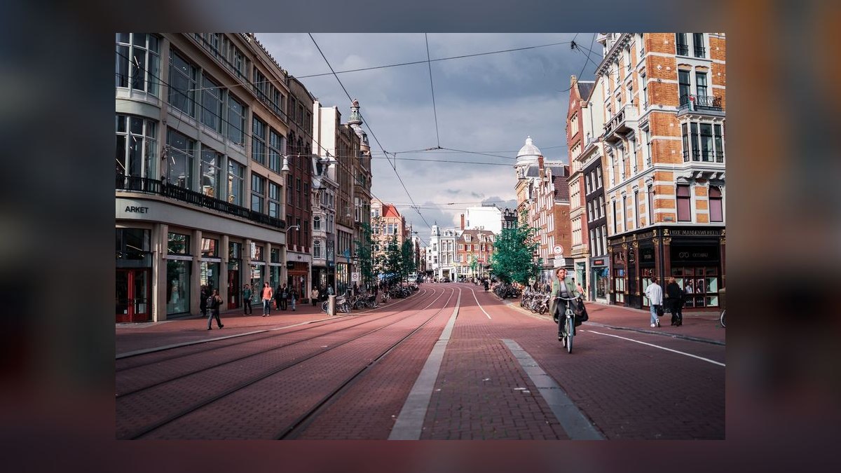
Fourth: overnight and off-peak gaps. Covered above, but it is worth naming as a failure mode, because it is where the cost model breaks. Two $40 rideshares a week is $350 a month, which erases most of the theoretical savings. If your life involves regular late nights, either pick a city with genuine overnight service or model rideshare at your real usage rate, not an optimistic one.
Fifth: hauling and moving. Furniture, a new mattress, a bike that needs a shop across town, moving apartments. These are real and they are solvable — Zipcar, U-Haul by the hour, delivery — but budget a few hundred dollars a year for them rather than being surprised.
Sixth, and most underestimated: service-level risk. Your car-free plan is a bet on an agency continuing to run the service it runs today. Systems undergoing major reconstruction can degrade a specific line for years. Check for planned shutdowns on the corridor you are betting on.

Finally, an edge case in the other direction: Jersey City and the borrowed-amenity trap. Jersey City works beautifully as a car-free base because PATH puts you in Manhattan in minutes, but a meaningful share of its appeal is New York's. If you would resent paying Jersey City rent to spend your weekends across the river, that is worth knowing before the lease.
A ninety-day plan for going car-free
Treat this as a project with a sequence, not a single decision. Young professionals who do it well tend to run roughly this order of operations.
Days 1–15: run the real numbers. Pull your last twelve months of car costs — payment, insurance, fuel, parking, maintenance, tolls, tickets. Get a true monthly figure. Then price the monthly transit pass and a realistic rideshare budget in each target city. You now have your rent-premium tolerance: the amount of extra rent you can absorb and still come out even.
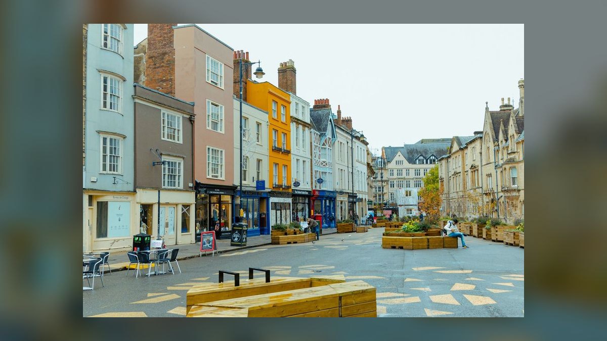
Days 15–30: shortlist neighborhoods, not cities. For each of your two or three target metros, identify three neighborhoods that clear the bar — Walk Score above 80, a full grocery within a 15-minute walk, a high-frequency line to your likely employment cluster. Verify headways on the agency's own schedule, at 8am and at 10pm.
Days 30–45: pressure-test remotely. Read the local subreddit for real car-free accounts. Map your candidate commutes with transit directions at multiple times of day. Check the agency's news page for service changes or funding shortfalls.

Days 45–60: visit and walk it. Spend a weekday and a weekend in your top neighborhood. Take the actual commute at the actual hour. Walk to the grocery carrying something heavy. Ride home at 11pm. This step catches what no dataset will.
Days 60–75: sell or shed the car before you sign. Do it in this order — it forces the commitment and it prevents the "I'll keep it for a few months" drift that ends with a parking bill and an unused vehicle.
Days 75–90: build the replacement stack in week one. Transit pass, bikeshare membership, Zipcar or equivalent account, one delivery service. Having these set up before you need them is the difference between a habit and a workaround.
FAQ
Is car-free living realistic outside of New York?
Yes, in the right neighborhood. Washington D.C., Boston, Chicago, Philadelphia, San Francisco, and Jersey City all have large populations of households with no vehicle, per Census ACS data. The difference is that New York makes it the default citywide, while elsewhere it requires deliberate neighborhood selection.
How do I check whether a specific address works?
Use Walk Score for the address, not the city. Then verify three things manually: a full-service grocery within a 15-minute walk, a transit line with sub-15-minute peak headways, and a workable option for getting home after 11pm.
What about harsh winters in Chicago, Boston, or Minneapolis?
Transit runs year-round and residents adapt with clothing and routing. Minneapolis's skyway network connects much of downtown in climate-controlled corridors. The practical effect of winter is that it shortens the walk distance you will tolerate, which pushes you toward denser, more central addresses.
Does going car-free actually save money?
In Philadelphia, Chicago, Minneapolis, and Portland, usually yes — you gain walkability without paying top-tier rent for it. In Manhattan and San Francisco the savings are often offset by the rent premium, and the return shifts to time, convenience, and eliminating parking as a daily problem.
Which cities are best if biking is my primary mode?
Minneapolis and Portland rank at or near the top of US cities in League of American Bicyclists ratings and bike-commute share. Washington D.C.'s flat terrain and Capital Bikeshare network make it a strong third. Chicago and Seattle have expanded protected-lane networks substantially.
Should I move first or sell the car first?
Sell first, then sign. Keeping the car "just for a few months" reliably turns into a year of parking fees and an unused vehicle. Shedding it before the lease forces you to choose a neighborhood that genuinely works without one.
Which city is cheapest for car-free living?
Philadelphia and Minneapolis anchor the affordable end. Philadelphia pairs genuine East Coast density, SEPTA subway, trolley and regional rail, and Pennsylvania's flat income tax with rents well below Boston or New York. Minneapolis adds top-tier bike infrastructure and the downtown skyway system for winter.
Do I need a car for weekend trips?
No. All ten cities have intercity rail or bus service, and carshare services like Zipcar exist in each. Budget for occasional rentals rather than ownership — a few weekend rentals a year cost a fraction of a year of insurance and depreciation alone.
Is San Francisco still viable given its cost?
Yes, for people whose salaries absorb it. The seven-by-seven-mile footprint, BART and Muni coverage, and mild year-round climate make car-free genuinely easy. The hills are the real constraint on walking and cycling routes, and rent sits in the top tier nationally.
How much should I budget monthly to replace a car?
Roughly $150–$250 for most people: a transit pass in the $75–$130 range, plus rideshare, occasional carshare, and delivery fees. That compares against typical urban ownership costs of $450–$1,000+ monthly once parking is included.
Sources
- https://www.walkscore.com/cities-and-neighborhoods/
- https://data.census.gov/
- https://www.census.gov/programs-surveys/acs
- https://newsroom.aaa.com/auto/your-driving-costs/
- https://www.zillow.com/research/data/
- https://www.apta.com/research-technical-resources/transit-statistics/
- https://bikeleague.org/bfa/awards/
- https://taxfoundation.org/data/all/state/state-income-tax-rates/
- https://www.septa.org/
- https://www.wmata.com/
Related on PULSE
- [10 Best Cities for Young Professionals to Live in 2027](/knowledge/tn0139)
- [Best Sun Belt Cities for Young Professionals in 2027](/knowledge/tn0108)
- [Best US Cities for Young Professionals With No State Income Tax in 2027](/knowledge/tn0105)
- [Best Affordable US Cities for Young Professionals in 2027](/knowledge/tn0102)
- [Top 10 Best Towns to Live in for Young Professionals in 2027](/knowledge/tn0099)
- [Best West Coast US Cities for Tech Professionals in 2027](/knowledge/tn0104)
This page will be disappearing soon. Save it to your device for $1 — or read it free while it is here.
@Kory-White- · if Venmo asks, the last 4 of my number are 2012
This page is gone.
This one is off the shelf now. $1 keeps it on your phone for good — the whole page, pictures and diagrams included.
 pulse-townsBest US Cities for Young Professionals With No State Income Tax in 2027
 pulse-townsBest Sun Belt Cities for Young Professionals in 2027
 pulse-townsBest Affordable Global Cities for Digital Nomads Outside Europe in 2027
 pulse-townsTop 10 Best Cities for Families on the West Coast in 2027
 pulse-townsBest West Coast US Cities for Tech Professionals in 2027
 pulse-townsThe 10 Best Cities for Families in Florida in 2027
 pulse-towns10 Best Cities to Retire in the Midwest 2027 (Low Cost, Four Seasons, Strong Healthcare)
 pulse-townsBest Affordable US Cities for Young Professionals in 2027
 pulse-townsTop 10 Safest Mid-Size Cities in America in 2027
 pulse-townsThe 10 Best Places to Raise a Family in the Northeast in 2027