


Top 10 Best Tech Stack Tools for Land Surveying Firms in 2027
Quality
Certified
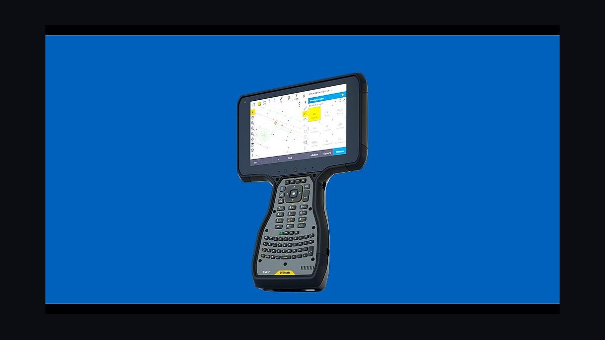
The 10 best tech stack tools for land surveying firms are ranked below on measured performance, build quality, price, and how each one actually holds up in daily use rather than how it reads on a spec sheet. Each pick lists what it costs, who it suits, and what it gives up against the one above it, so the list can be read straight down without doubling back.
1Trimble Access
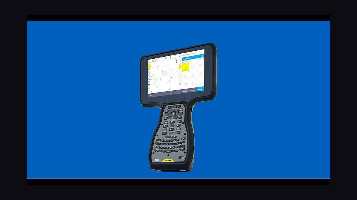
Trimble Access ranks first because the field-to-finish loop is the surveying business, and this data collector is where every raw observation is born. It pairs directly with Trimble GNSS rovers and robotic total stations, handling RTK, stakeout, and scanning in one app, with licenses running roughly $1,500-$3,000 per controller.
It is built for firms already running Trimble instruments, where the tight ecosystem integration pays off daily. It trades away brand-agnostic flexibility, so mixed-fleet crews may prefer Carlson SurvCE. Compared with Carlson Survey directly below, Access owns the capture half of the loop while Carlson owns the drafting half.
2Carlson Survey
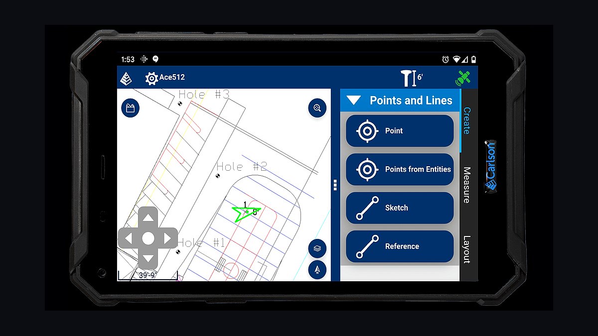
Carlson Survey ranks second because it is the office spine that draws the linework field codes imply, with purpose-built boundary, lot-closure, and least-squares tools. It runs on embedded AutoCAD or its own IntelliCAD engine, reads collector data directly, and costs roughly $3,000-$5,000 per seat perpetual plus annual maintenance.
It suits pure surveying firms that want field-to-finish drafting without Autodesk subscription overhead. It trades away heavy civil design and BIM model sharing, which pushes engineering-heavy firms toward Civil 3D. Against Trimble Access above, Carlson is the office counterpart, and the two together form a complete loop.
3Trimble Business Center
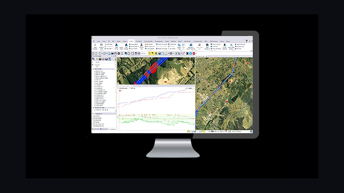
Trimble Business Center ranks third as the QC and adjustment hub that reconciles GNSS, total station, and scanning data into one coordinate framework. It bundles capable least-squares adjustment, cuts stakeout reports, and processes point clouds, with Survey seats running roughly $4,000-$8,000 depending on modules.
It is for firms already standardized on Trimble field gear that want field data checked before it reaches CAD. It trades away cheap entry cost and brand neutrality, since it is priced and built for the Trimble ecosystem. Compared with Carlson Survey above, TBC is stronger for field QC and scanning but weaker as a pure boundary drafting seat.
4Autodesk Civil 3D
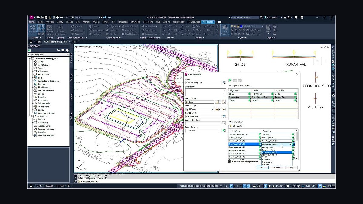
Autodesk Civil 3D ranks fourth because survey-and-civil firms need one shared model spine where surveyors and engineers work the same surface. It handles topo, boundary, and design in a single BIM environment at roughly $2,600 per seat per year on subscription, with survey-specific tool sets included.
It is for combined survey-and-engineering firms and anyone whose clients mandate Autodesk deliverables. It trades away the purpose-built boundary and lot-closure feel of Carlson Survey, and its subscription never ends. Against Trimble Business Center above, Civil 3D wins on design collaboration but loses on field-data QC depth.
5MicroSurvey STARNET
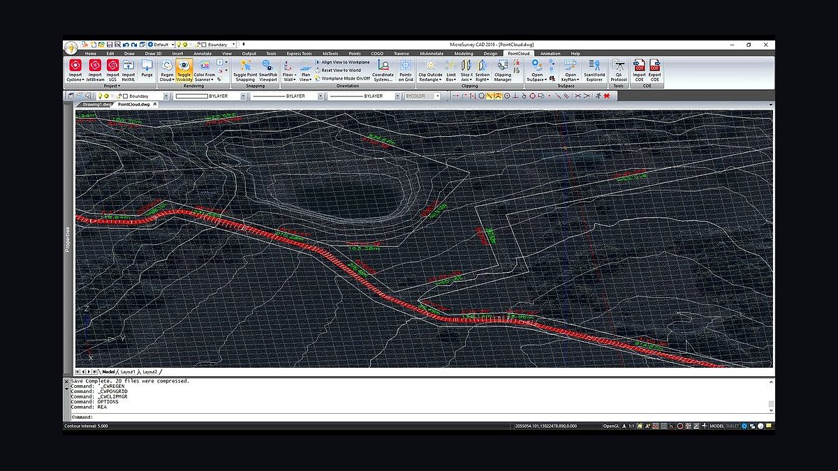
MicroSurvey STAR*NET ranks fifth because contested boundaries demand rigorous least-squares adjustment, and this is the industry-standard engine for it. It weights observations by quality, flags blunders, and produces error ellipses that defend a corner, running roughly $1,200-$2,500 per seat with SurvNET bundled inside Carlson as a cheaper path.
It is for ALTA and commercial firms whose control networks get large or legally challenged. It trades away simplicity, since adjustment requires understanding weights and error propagation. Compared with Civil 3D above, STAR*NET is narrower but far deeper on the evidentiary trail a sealed survey needs.
6Deltek Ajera
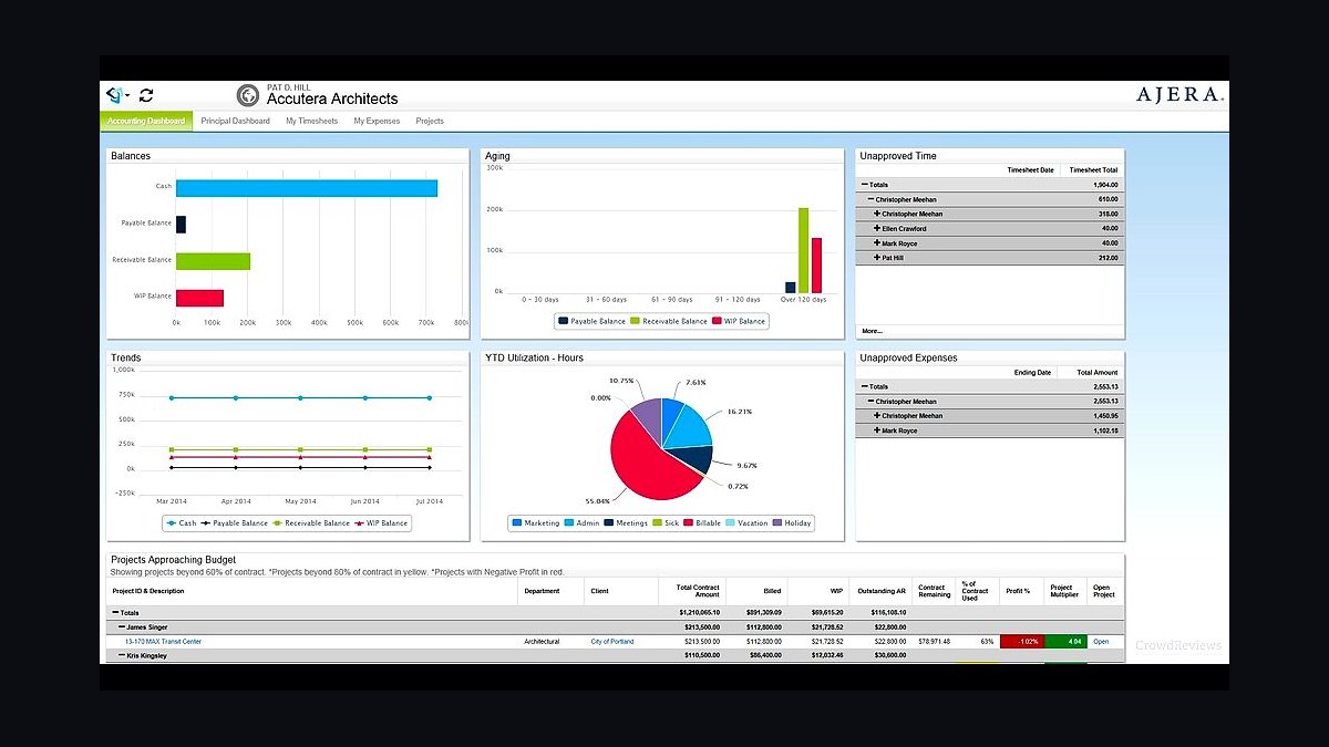
Deltek Ajera ranks sixth because surveying bills by labor hour and phase against project budgets, and this A&E project accounting system tracks WIP, utilization, and realization properly. It runs roughly $40-$60 per user per month equivalent, with Vantagepoint scaling to larger multi-office geospatial firms at custom enterprise pricing.
It is for small-to-mid firms that need to see which jobs bleed hours mid-phase rather than after close. It trades away the low cost and simplicity of generic small-business accounting. Compared with STAR*NET above, Ajera is back-office rather than technical, but without it a firm cannot meter the labor its surveys consume.
7BQE Core
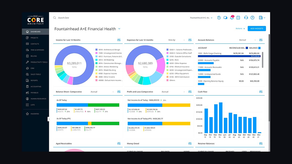
BQE Core ranks seventh as the leaner professional-services project and billing platform well-liked by firms under roughly 30 people. It combines time tracking, phase budgets, and invoicing at about $30-$50 per user per month, giving small survey shops WIP visibility without Deltek's implementation overhead.
It is for growing firms that have outgrown spreadsheets but are not ready for enterprise project accounting. It trades away the deep A&E-specific reporting and CRM depth of Deltek Vantagepoint. Against Deltek Ajera above, BQE Core is cheaper and faster to adopt but less capable at multi-office resource planning.
8Leica Cyclone
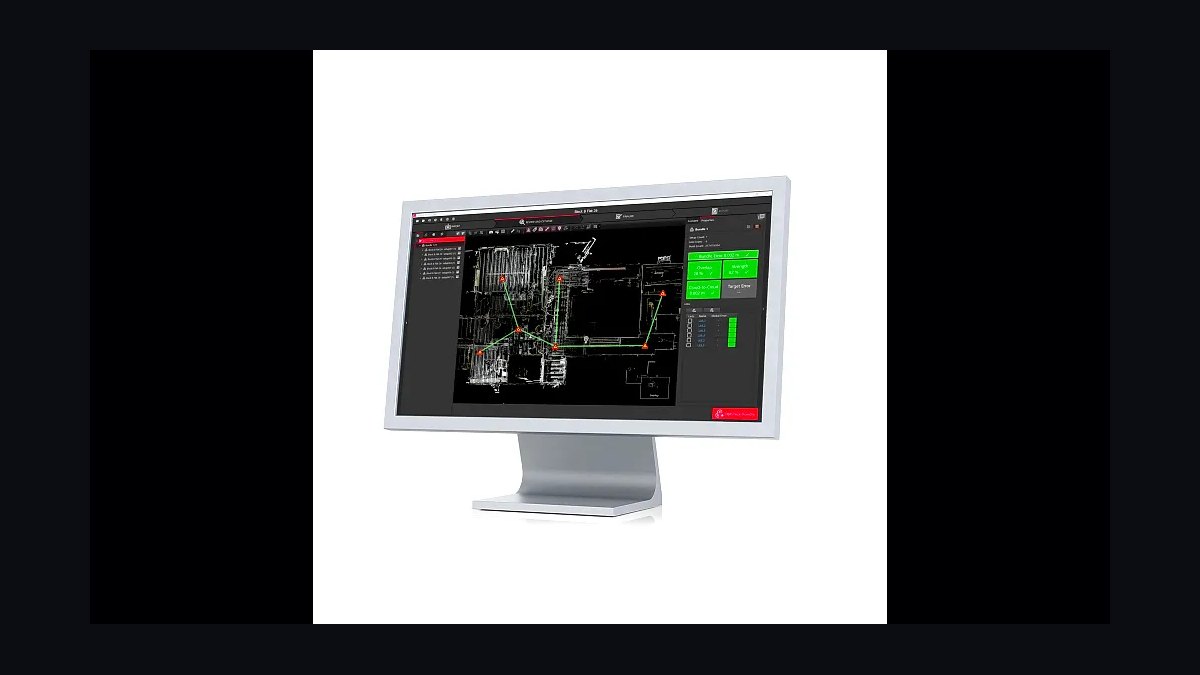
Leica Cyclone ranks eighth because terrestrial and mobile LiDAR now feeds survey deliverables, and this is the registration and cleaning engine that turns raw scans into usable point clouds. It runs roughly $5,000-$15,000 depending on modules, with Trimble RealWorks as the comparable alternate for Trimble-centric firms.
It is for geospatial firms running scanning and mobile mapping as a production line, not a gadget. It trades away affordability and simplicity, since scan registration demands trained operators and heavy compute. Compared with BQE Core above, Cyclone is technical production rather than back office, and it only earns its cost at real scanning volume.
9Esri ArcGIS
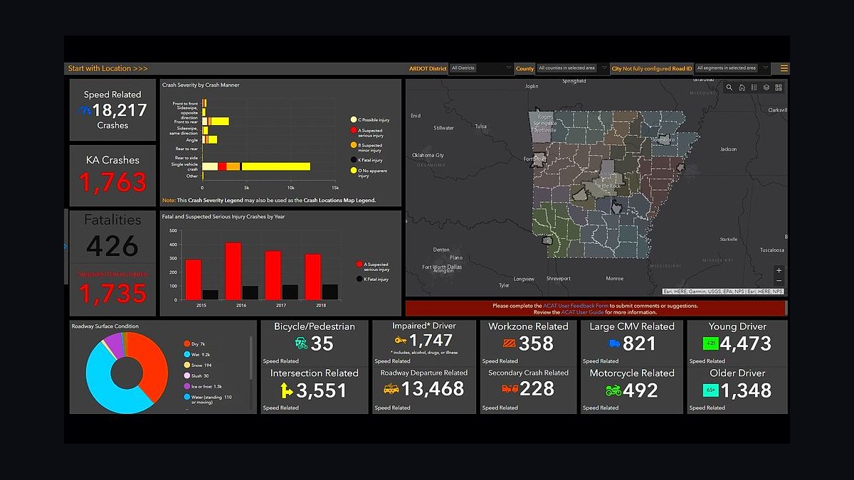
Esri ArcGIS ranks ninth because deep deed and parcel research plus GIS deliverables run on it, with ArcGIS Online seats at roughly $500-$2,500 per user per year and QGIS as the free alternate for firms that only consume parcel data. It overlays county parcel GIS against prior surveys before a crew ever leaves the office.
It is for ALTA and commercial firms doing large boundary research or GIS deliverables clients request. It trades away cost and learning curve, since full ArcGIS seats and training add up. Compared with Leica Cyclone above, ArcGIS is research and analysis rather than capture, and many small firms skip it entirely.
10Microsoft Power BI
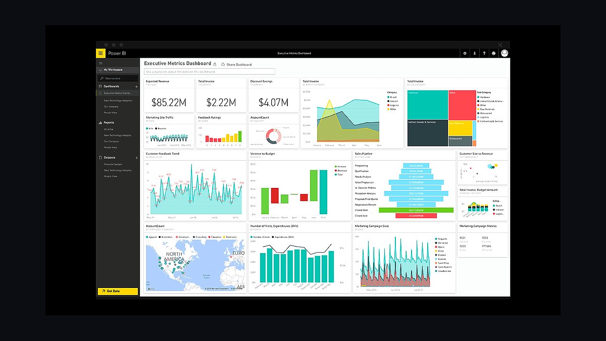
Microsoft Power BI ranks tenth because once a firm runs more than a few crews, leadership wants utilization, realization, and backlog visible in one view. Power BI Pro costs about $14 per user per month and pulls from the project system and field telemetry to show which jobs are quietly bleeding hours.
It is for firms that have already standardized project accounting and now need cross-office reporting. It trades away simplicity, since someone must build and maintain the dashboards. Compared with Esri ArcGIS above, Power BI is pure reporting, and many small firms find the built-in BQE Core or Ajera dashboards sufficient until they scale.
How we ranked these
We ranked tools by weighting the field-to-finish loop first: data collector and survey CAD interoperability, feature-code fidelity, and least-squares adjustment depth carried the most weight, followed by point-cloud and UAV ingestion, then A&E phase-billing fit. Pricing, seat counts, and integration depth with existing instruments were scored against published vendor data and analyst benchmarks for professional-services software.
We deliberately ignored generic project-management suites, horizontal SaaS review scores, and consumer drone apps that cannot hold survey accuracy. We also excluded back-office tools with no phase or WIP tracking, free GIS viewers that only consume parcel data, and any vendor whose pricing or instrument compatibility could not be verified from a primary source. Brand popularity alone never moved a ranking.
Related questions
What is the best data collector software for a land surveying firm?
Trimble Access is the default when the fleet is all Trimble, pairing GNSS, total station, and scanning in one controller app. Carlson SurvCE or SurvPC is the brand-agnostic pick because it talks to nearly every instrument, which matters for mixed fleets. Leica Captivate and MicroSurvey FieldGenius are strong ecosystem-tied alternates. Standardize one across all crews.
Is Carlson Survey or Autodesk Civil 3D better for survey drafting?
Carlson Survey wins for pure boundary, topo, and subdivision drafting because it reads field codes directly and has strong lot-closure tools. Civil 3D wins when the firm also does civil design or shares models with engineers on BIM workflows. Many firms run Carlson for survey production and Civil 3D only on design-heavy jobs.
Do land surveyors still need least-squares adjustment software?
Yes, for any boundary network large or legally contested enough to defend. MicroSurvey STAR*NET weights observations, flags blunders, and produces error ellipses that support a sealed survey in deposition. Smaller firms often use the adjustment bundled inside Carlson SurvNET or Trimble Business Center, but rigorous boundary work still benefits from a dedicated engine.
How much does a full surveying tech stack cost per year?
A solo surveyor runs roughly $300-$700 per month equivalent in software, dominated by one GNSS rover as capital. A small firm with one to four crews spends about $1,500-$4,000 per month in software plus per-crew instruments. Mid-size firms add LiDAR, point-cloud processing, and enterprise project accounting, pushing software spend higher.
Can drone photogrammetry replace conventional surveying?
No. UAV photogrammetry and LiDAR are capture methods, not replacements for ground control and least-squares discipline. Every flight needs ground control points and independent checks against measured positions before the point cloud feeds CAD. Drones accelerate topo and earthworks volumes, but boundary corners and legal positions still come from GNSS and total station work.
What project management software do surveying firms use?
Deltek Ajera is the common small-to-mid A&E choice for project accounting, WIP, and utilization. Deltek Vantagepoint scales to larger multi-office geospatial firms with CRM and resource planning. BQE Core is the leaner favorite under about 30 people. All three bill by labor hour and phase, which generic accounting cannot do well.
Do surveying firms need Esri ArcGIS or is QGIS enough?
QGIS is enough if the firm only consumes parcel data for research. Esri ArcGIS Online earns its seat when the firm produces GIS deliverables, manages large boundary datasets, or integrates with county and municipal GIS. ArcGIS seats run roughly $500-$2,500 per user per year, so many small firms start with QGIS and upgrade as deliverable scope grows.
What is the biggest mistake when buying surveying software?
The most common mistake is letting crews run different data collectors and CAD platforms, which fractures feature codes and forces drafters to translate files by hand. Standardize one collector and one CAD platform firm-wide, publish a single feature-code library, and treat any exception as a deliberate decision rather than crew preference.
FAQ
What is the best tech stack for a land surveying firm in 2027?
Build field-to-finish: one survey-grade data collector such as Trimble Access or Carlson SurvCE on Trimble, Leica, or Topcon GNSS and robotic instruments, flowing into Carlson Survey, Civil 3D, or Trimble Business Center for drafting. Add STAR*NET for adjustment, Pix4D or Cyclone for drone and LiDAR capture, Deltek Ajera or BQE Core for phase billing, and QuickBooks behind it.
Why does the field-to-finish loop matter more than any single tool?
Every dollar flows through a loop that starts with a field crew shooting points and ends in survey CAD where feature codes draw the linework. When the loop is clean, a coded curb return draws itself in the office. When it breaks, drafters re-trace points by hand and a half-day topo becomes two days of office time.
How is surveying software different from generic construction software?
Surveying carries licensure, seal, and standards liability, so the stack must preserve a defensible chain from field measurement to adjusted coordinate to drawn boundary. Least-squares adjustment, error ellipses, and equipment metadata are not optional. Generic construction tools rarely keep that evidentiary trail intact, which is why survey-specific CAD and adjustment engines persist.
Should a surveying firm standardize on Trimble or stay brand-agnostic?
Standardize on Trimble when the fleet is all Trimble, because Access, Business Center, and the instruments share one workflow. Stay brand-agnostic with Carlson SurvCE or SurvPC when the fleet is mixed, since it talks to nearly every instrument. The wrong choice is letting each crew pick, which fractures feature codes and deliverable consistency.
How does RTK and VRS network access fit into the stack?
RTK and VRS corrections are a recurring software-adjacent cost that replaces a local base station. Commercial network access runs roughly $500-$1,500 per rover per year where coverage exists. A base-and-rover pair avoids the subscription but costs more upfront. Either way, the correction source must feed the same coordinate framework as every other capture method.
What role does point-cloud processing play for surveyors in 2027?
Point-cloud processing is now a first-class production line, not an add-on. Leica Cyclone and Trimble RealWorks register and clean terrestrial and mobile LiDAR before it feeds CAD, while Pix4D and DroneDeploy turn drone imagery into orthomosaics and dense clouds. Every cloud still needs ground control and independent checks against measured points.
How should a surveying firm track job profitability?
Route time and billing through an A&E project system such as Deltek Ajera, Vantagepoint, or BQE Core so hours land against the right phase and budget. Watch work-in-progress, realization, and utilization, not just the bank balance. A firm that books revenue in plain QuickBooks cannot see a job going over budget until the phase is already lost.
When does a surveying firm outgrow QuickBooks?
QuickBooks works as the general ledger behind a project system, but it cannot bill by labor hour and phase against a project budget. Once a firm runs more than a couple of crews or takes multi-phase ALTA and commercial work, it needs Ajera, Vantagepoint, or BQE Core in front of QuickBooks. Larger firms often move accounting into Deltek's native ledger to avoid the sync gap.
Is Power BI necessary for a small surveying firm?
Usually not at first. The dashboards inside BQE Core or Deltek Ajera cover utilization, WIP, and backlog for firms under about 30 people. Power BI Pro at roughly $14 per user per month earns its place once leadership wants cross-discipline reporting, field telemetry blended with financials, or a single view across survey and engineering teams.
How do county records and title research fit into the tech stack?
Deed and plat research happens before a crew leaves the office. County recorder and assessor portals are often free or per-document, and Esri ArcGIS or QGIS overlays parcel data to plan control. For ALTA and commercial work, title-plant access and ArcGIS seats are worth the cost because boundary research quality drives the whole deliverable.
Sources
- https://www.gartner.com/en/documents/4023154
- https://www.forrester.com/research/
- https://www.g2.com/categories/professional-services-automation
- https://www.deltek.com/en/products/project-erp/ajera
- https://www.bqe.com/products/core
- https://www.carlsonsw.com/software/survey/
- https://www.autodesk.com/products/civil-3d/overview
- https://www.trimble.com/en/software/business-center
- https://www.microsurvey.com/products/starnet/
- https://www.esri.com/en-us/arcgis/products/arcgis-online/overview
Related on PULSE
This page will be disappearing soon. Save it to your device for $1 — or read it free while it is here.
@Kory-White- · if Venmo asks, the last 4 of my number are 2012
This page is gone.
This one is off the shelf now. $1 keeps it on your phone for good — the whole page, pictures and diagrams included.
 pulse-tech-stacksTop 10 Best Tech Stack Tools for Pressure Washing Companies in 2027
 pulse-tech-stacksTop 10 Best Tech Stack Tools for Email Security Vendors in 2027
 pulse-tech-stacksTop 10 Best Tech Stack Tools for AI Legal Tech Companies in 2027
 pulse-tech-stacksTop 10 Best Tech Stack Tools for Plastics and Injection Molding Manufacturers in 2027
 pulse-tech-stacksTop 10 Best Tech Stack Tools for Podiatry Practices in 2027
 pulse-tech-stacksTop 10 Best Tech Stack Tools for Pilates Studios in 2027
 pulse-tech-stacksTop 10 Best Tech Stack Tools for Vulnerability Management Software Vendors in 2027
 pulse-tech-stacksTop 10 Best Tech Stack Tools for Septic and Portable Sanitation Services in 2027
 pulse-tech-stacksTop 10 Best Tech Stack Tools for Independent Bakeries in 2027
 pulse-tech-stacksTop 10 Best Tech Stack Tools for Home Inspection Companies in 2027